In an age where we can video chat with someone on the other side of the globe or order products from distant countries with a single click, our sense of place has become both expanded and oddly compressed. We are more aware of the world's geography than ever before, yet we often experience it through a flat, two-dimensional screen. The "Earth 3D Map" app, available on the Google Play Store, aims to change that by bringing the planet's topography, cities, and landscapes into vivid, three-dimensional relief. It promises to be more than just a basic map, offering a suite of tools for exploration and even professional Geographic Information System (GIS) management.
More Than Just a Pretty Globe
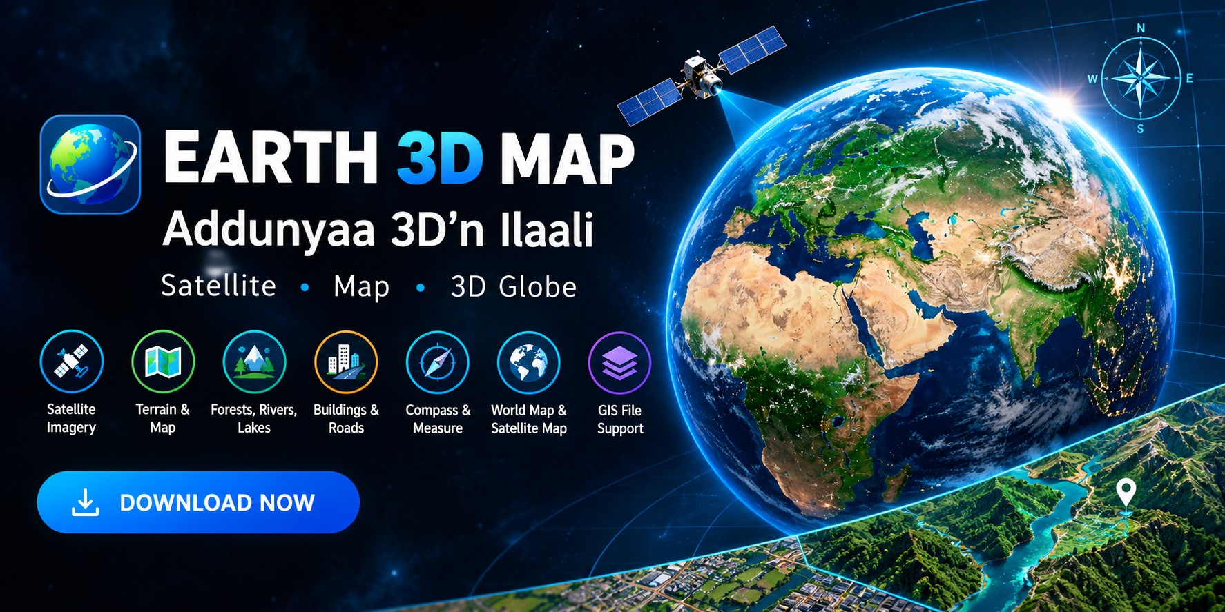
At its most fundamental level, "Earth 3D Map" allows users to view any location on Earth using high-definition satellite photographs. The app's key draw is its ability to provide a comprehensive view of the terrain, including forests, rivers, lakes, buildings, and roads, making the experience feel immersive and educational. It's like having a powerful, interactive globe in your pocket that lets you zoom in on the Himalayas or pan across the Amazon rainforest. However, as many users have pointed out, the actual experience can depend heavily on the age and resolution of the satellite data available for your specific region.
A Tool for the Curious and the Professional
Beyond simple exploration, "Earth 3D Map" packs a surprising number of features for a mobile application. It is clearly designed with a dual purpose: to serve both casual users and those with more technical GIS needs.
Here are some of its notable capabilities:
- Advanced File Support: The app supports a wide range of professional GIS and CAD formats, including KML/KMZ, GPX, SHP, CSV, GeoJSON, and even CAD files like DXF and DWG. This allows professionals to manage and view their project files directly within the app.
- Measurement Tools: You can measure both area and distance on the map, a handy feature for planning, education, or real estate analysis.
- Historical Street View & Compass: Adding to its utility, the app includes a historical street view function and a compass, making it useful for navigation and comparison over time.
- Coordinate Systems: It supports UTM (Universal Transverse Mercator) and MGRS (Military Grid Reference System) coordinates, which are essential for precise location tracking in fields like surveying, military, and disaster response.
Key Considerations and User Feedback
While the app offers a robust feature set, user reviews on the Google Play Store reveal some critical points to consider. The most common and significant complaint concerns the age of the satellite imagery. Several users have noted that the map data for their specific locations appears to be many years outdated. One reviewer from China pointed out that the map had not been updated in six years for their village, rendering it useless for current information. This is a crucial limitation to be aware of if you need up-to-date imagery.
Other feedback highlights issues with specific features. For example, one user expressed disappointment that a "Feng Shui compass" feature was removed after an update, while another mentioned that a recent update caused issues with Google Account login, which the developer noted has been fixed. The app's data security page also states that data is not encrypted, which is a consideration for users handling sensitive location data, though it does allow users to request data deletion.
The Verdict on Value
"Earth 3D Map" is a feature-rich application that offers a lot on paper, blending casual exploration with professional-grade GIS tools. Its support for a vast number of file formats and coordinate systems makes it a powerful tool for field workers, geologists, and urban planners who need a mobile solution to view and manage complex spatial data. For the everyday user, it provides an engaging way to view the world in 3D and explore distant places.
However, the app's overall value is significantly tempered by the quality of its data. For many users, the promise of "latest satellite images" may not match reality, as the data can be years old. Before you invest time in this app, it's wise to manage your expectations. If you're looking for up-to-the-minute satellite views or live traffic data, this might not be the best choice. But if you need a powerful, portable tool for viewing terrain, managing GIS files, and exploring the world's topography—and are okay with potentially outdated imagery for some regions—then "Earth 3D Map" is a solid option to consider. Always check the app's reviews for your specific region to get a better sense of the data's freshness before making it your go-to mapping companion.